 http://citadine.github.io/NYC-health.html
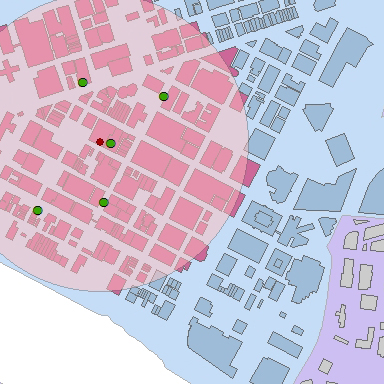
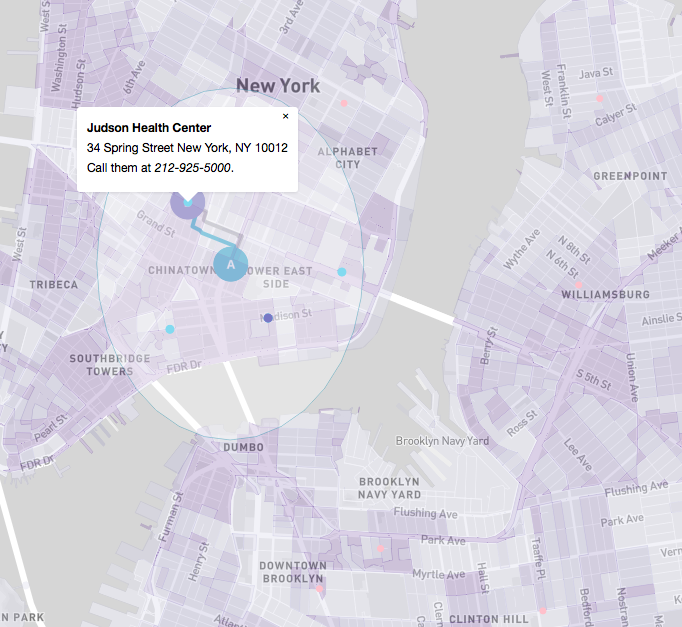
An interactive school project that tracks the accessibility of health care facilities in New York City. The population density choropleth map shows food deserts and allows users to locate their nearest health facility by clicking on the map where they live. This was a fun project to play around with MapBox’s API and learn to use loops in JavaScript to build markers and a choropleth map.
All of the data was taken from NYC’s open data website and processed in ArcGIS. CSV files were geocoded to find locations and make shapefiles, then population density was calculated by census tract and exported into MapBox.
Sources:
New York Health and Hospital Facilities
New York Census Tract population: New York City Open Data
- Categories:
- Share Project :